Volcano Extract 25 July 2014

Extracted from the QVSData Weekly Geophysical Report for 25 July 2014

Volcanoes

Volcano information gathered from various sources, including the Smithsonian Weekly Volcanic Activity Report from which confirmation of reports is taken. A volcano is only included in the listing if there is significant ash above 1km height (white/steam clouds are not counted) or there is a significant lava flow. Crater incandescence, unless accompanied by the either of the preceding does qualify as an eruption.

Volcano Chart

Volcanoes_20140725
(Click the Image for a larger/clearer version)
Continue reading

Posted in Activity Report, Central America, Indonesia, Japan, South America | Tagged , , , , , , | Leave a comment

Earth & Sky: Planets Align During Volcanic Eruption

Reproduced from an article:
By Stephanie Pappas, Live Science Contributor | July 22, 2014 09:58am ET

ol-doinyo-lengai-volcanoOl Doinyo Lengai in Tanzania is the only volcano on Earth that gushes natrocarbonatite lava. Credit: George Seielstad.(Click the Image for a larger/clearer version)

An erupting volcano sends smoke toward the heavens, where Venus, Jupiter and the moon hover close.

This photo, taken on Feb. 3, 2008, and released on June 16, 2014, by EPOD, NASA’s Earth Science Division, shows an eruption at Tanzania’s Ol Doinyo Lengai. The photographer, George Seielstad, was camping with his son Mark when the eruption occurred.

“We were in a tent camp (the only guests),” Seielstad wrote in an email to Live Science. “Those photos were the scene out the front of our tent when we awoke.”

Special volcano

Ol Doinyo Lengai rises up from the Gregory Rift Valley of north-central Tanzania, not far from the Kenyan border. The mountain reaches 9,715 feet (2,962 meters) in elevation, according to the Smithsonian Institution’s Global Volcanism Program.

This volcano is the only one on Earth to erupt carbonatite lava within living memory. Carbonatite lava is lava made up of at least 50 percent minerals that contain carbonate ions. The lava that oozes out of Ol Doinyo Lengai is rich in sodium and potassium, and is called natrocarbonatite lava. It also contains very little silica, the mineral that gives volcanic rocks such as obsidian their glassy sheen. [Images: One-of-a-Kind Places on Earth]

Carbonatite lavas are much cooler than typical lava. They erupt at about 932 degrees Fahrenheit (500 degrees Celsius). In comparison, the lava from a mountain like Mount St. Helens in Oregon is about 1,472 F (800 C), and Hawaiian volcanoes spew out molten rock at about 2,012 F (1,100 C).

This chilled-out carbonatite lava looks like black tar, and glows red only at night, according to the Hawaiian Volcano Observatory. Once the lava cools, it reacts with moisture from rain and runoff and turns white. Continued absorption of water reduces the lava flows to brown dust within months of erupting.

Expeditions to Ol Doinyo Lengai’s crater reveal a world of lava lakes, fountains and flows. Eruptions sometimes spit out ash, and lava occasionally flows down the upper slopes of the volcano, according to the Hawaiian Volcano Observatory.

Surprise snapshot

For Seielstad, the eruption was a surprise. He and his son were visiting Tanzania to see vistas and wildlife, he said. “The volcano was an unexpected bonus,” he said. One of Seielstad’s images of the volcano won Viewer’s Choice in June 2014 on NASA’s Earth Science Picture of the Day.

volcanic-eruption-140721The awe and beauty of awaking in a Tanzanian tent camp to a stunning sunrise, a volcano eruption and a tight configuration of Venus, Jupiter and the Moon explains the Masai name for the volcano, “Mountain of God.” – Credit: George Seielstad
(Click the Image for a larger/clearer version)

Coincidentally, the mountain sent up a stream of ash the same morning that Venus and Jupiter were visible in close conjunction with the moon. The coincidence is all the more meaningful because scientists think that Venus may play host to its own carbonatite volcanoes. Landforms seen on the planet’s surface seem to have been made by low-temperature, slow-flowing lava, perhaps not unlike the goo that oozes from Ol Doinyo Lengai.

Posted in Africa, Lava, Ol Doinyo Lengai | Tagged , , , | Leave a comment

Volcanoes W/E 06 June 2014

Volcanoes

Volcano information gathered from various sources, including the Smithsonian Weekly Volcanic Activity Report from which confirmation of reports is taken. A volcano is only included in the listing if there is significant ash above 1km height (white/steam clouds are not counted) or there is a significant lava flow. Crater incandescence, unless accompanied by the either of the preceding does qualify as an eruption.

Volcano Chart

Volcanoes_20140606
(Click the Image for a larger/clearer version)

Volcanoes erupting this week contributing to the chart.(6)

Cleveland Chuginadak Island
Dukono (Halmahera Indonesia)
Pavlof (United States)
Sangeang Api (Indonesia)
sa-ERUPTION
Shiveluch (Kamchatka. Russia)
Ubinas (Peru)

ALASKA VOLCANO OBSERVATORY WEEKLY UPDATE
Friday, June 6, 2014 1:27 PM AKDT (Friday, June 6, 2014 21:27 UTC)

PAVLOF VOLCANO (VNUM #312030)
55°25’2″ N 161°53’37” W, Summit Elevation 8261 ft (2518 m)
Current Volcano Alert Level: WATCH
Current Aviation Color Code: ORANGE

The eruption of Pavlof Volcano that began late on the evening of May 30 is continuing, although the level of activity has declined appreciably over the past 24 hours. Elevated surface temperatures at the summit of the volcano persist in satellite images indicative of continued effusion of lava, cooling lava flows and spatter, or both. At present, ash emissions appear to be greatly reduced and no ash or steam plumes have been evident in satellite images since June 4, although cloud cover has obscured the volcano since Wednesday, June 4. Significant emissions of SO2 gas have been observed in satellite images beginning several days into the eruption.

Beginning May 31, the level of activity escalated gradually and the volcano was producing a nearly continuous ash plume from June 2-4, and ash and steam plumes up to 30,000 feet were observed in clear satellite and web camera images. AVO raised the Aviation Color Code and Volcano Alert Level to RED/Warning on the afternoon of Monday, June 2 as a result of rapidly increasing seismicity and observations of ash plumes above 20,000 feet. This level of eruptive activity persisted for about 6 hours before beginning to decline back to earlier levels, and soon after AVO reduced the status to ORANGE/Watch on Tuesday, June 3, 2014, at 5:54 PM AKDT (01:54 UTC June 4) where it presently remains. Observations this morning indicate a pause in eruptive activity and greatly diminished ash emissions and lava production at the vent.

The largest ash and steam plumes generated thus far have reached about 30,000 ft ASL and have extended about 50-60 mi (80-90 km) downwind of the volcano. AVO has received no reports of significant ash fallout on communities near the volcano, including Sand Point, King Cove, Nelson Lagoon, or Cold Bay, although trace amounts of ash may have reached these areas on occasion. Significant ash fallout has been limited to the immediate area surrounding the volcano. Seismic data from stations on the north flank of the volcano indicate that volcanic mudflows (lahars) have been occurring intermittently and these are likely causing minor flooding in the main drainages on the north flank of the volcano. The extent of inundation associated with these flows is not yet known.

Pavlof Volcano is experiencing a typical Strombolian eruption, characterized by lava fountaining, minor explosions, and the accumulation of spatter on the upper north flank of the volcano. Accumulations of spatter have occasionally built up and collapsed, forming hot, ashy, particle-rich flows that generate high-rising steam plumes on the lower north flank of the volcano. As these flows interact with ice and snow on the volcano, they produce meltwater and steam plumes. Spatter-fed lava flows also are likely forming.

http://www.avo.alaska.edu/activity/

Volcanoes active this week contributing to the chart. (38)

Anak Krakatau (Indonesia)
Bagana (Papua New Guinea)
Batu Tara (Sunda Islands Indonesia)
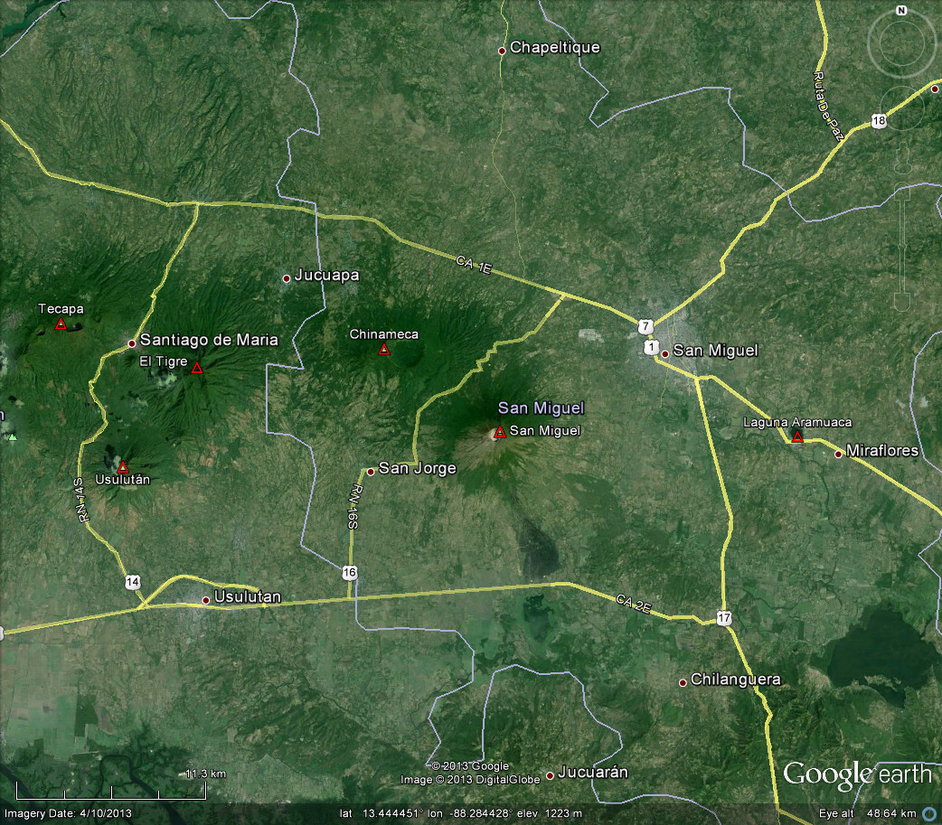
Chaparrastique [San Miguel] (El Salvador)
Chirinkotan (Russia)
Chirpoi [Snow](Russia)
Colima (México)
Copahue (Chile)
Etna (Sicily Italy)
Fuego (Guatemala)
Heard (Australia)
Ibu (Halmahere – Indonesia)
Karangetang [Api Siau] (Indonesia)
Kelut (E. Java. Indonesia)
Kirishimayama (Shinmoedake) (Japan)
Kusatsu-Shiranesan (Japan)
Lewotobi Perempuan (Indonesia)
Lokon-Empung (Indonesia)
Mount Bromo ( Indonesia.)
Mount Oyama (Miyake-jima – Izu Islands)
Nishino-shima (Japan)
Nyamuragira Democratic Republic Of Congo
Pacaya (Guatemala)
Paluweh [Rokatenda] (Lesser Sunda Islands)
Poas (Costa Rica)
Popocatépetl (México)
Raung (East Java Indonesia)
Reventador (Ecuador)
Semeru (E Java. Indonesia)
Shishaldin (Fox Islands. USA)
Sinabung (Indonesia)
Slamet volcano (West Java)
Soputan (Indonesia)
Suwanose-jima (Ryuku Islands)
Tungurahua (Ecuador)
Ulawun (New Britain Papua New Guinea)
Unnamed (Gadiyada village – India)
Veniaminof (United States)

KVERT web page: Kamchatka and the Northern Kuriles volcanoes: Erupting or Restless

Volcanic Ash Advisory Centre advisories

Anchorage VAAC
Australian VAAC
Buenos Aires VAAC
London VAAC
Montréal VAAC
Tokyo VAAC
Toulouse VAAC
Washington VAAC
Wellington VAAC

Aviation Colour Codes

This forms a part of the QVSData geophysical report for the week ending 6th June 2014

Posted in Activity Report | Tagged , | Leave a comment

Chaparrastique [San Miquel] Volcano erupts

Volcan Chaparrastique (San Miquel) erupted on Sunday.

SanMiguelVolcano
Click the image to go to the source where there are 17 images

sanmiquellocation(Click the Image for a larger/clearer version)

A new eruption began at the volcano this morning at 10:50 am local time. A strong vulcanian-type explosion produced an ash plume of unknown but considerable (several km) height.
According to local press, ash fall was expected in the town of Chinameca and Civil Protection has begun evacuations of families residing in a radius of 3 km around the volcano.

About 5,000 people live in the area, according to civil protection officials. So far, no one has been reported hurt.

The 7,025-foot volcano is located about 30 miles from the city of San Miguel and about 90 miles east of the capital San Salvador. Its last major eruption occurred in 1976.

Santos Osorio, a member of a local coffee growers union, told Reuters that heavy ash was falling on coffee plantations. El Salvador’s coffee output has already been reduced by an outbreak of leaf rust.

Mm, more expensive coffee then!

sanmiqueldata

The symmetrical cone of San Miguel volcano, one of the most active in El Salvador, rises from near sea level to form one of the country’s most prominent landmarks. The unvegetated summit of the 2130-m-high volcano rises above slopes draped with coffee plantations. A broad, deep crater complex that has been frequently modified by historical eruptions (recorded since the early 16th century) caps the truncated summit of the towering volcano, which is also known locally as Chaparrastique. Radial fissures on the flanks of the basaltic-andesitic volcano have fed a series of historical lava flows, including several erupted during the 17th-19th centuries that reached beyond the base of the volcano on the north, NE, and SE sides. The SE-flank lava flows are the largest and form broad, sparsely vegetated lava fields crossed by highways and a railroad skirting the base of the volcano. The location of flank vents has migrated higher on the edifice during historical time, and the most recent activity has consisted of minor ash eruptions from the summit crater.

Source: Smithsonian

The last activity report from Smithsonian was 2011

23 March-29 March 2011

Servicio Nacional de Estudios Territoriales (SNET) reported that during a survey of the San Miguel crater on 9 and 16 March observers noted pulses of gas rising 200 m from the crater. On 12 March the number and amplitude of earthquakes increased. RSAM values rose the next day to 121 units per day on average, up from normal values around 50 units per day. RSAM values continued to fluctuate during the next few days and reached as high as 319 units on 19 March, 414 units on 20 March, and 234 on 21 March. On 18 and 20 March, local residents felt vibrations and heard minor rumbling. Observations on 25 March indicated that gas plumes rose 100 m from the crater. On 28 March SNET noted that seismicity had gradually decreased during the previous few days, and was as low as 80 RSAM units on 27 March. Access to areas within a 2-km-radius remained restricted.

Posted in Central America, Eruption | Tagged , , | Leave a comment

Islet on Japanese coast created by volcanic eruption expected to remain for several years

Scientists believe that the islet which rose up from the waters off the coast of Japan due to a volcanic eruption last month may become a permanent fixture, at least for now. The small island, 1,000 kilometers south of Tokyo in the Ogasawara island chain, has been growing since it first appeared and is now three-and-a-half times its original size as of December 4.

When it first appeared last November 24, the Japan Coast Guard said that it was still too early to tell if the island would not eventually disappear once the underwater volcanic eruption is done. But now the Japan Meteorological Agency says it looks like the island will be here for a while and will not disappear in the next few weeks or maybe even years. However they cannot give yet a clear estimate because the volcanic eruption is still ongoing and there is still the possibility that a stronger eruption can blow apart the islet. Agency official Tomoyuki Kano said that they are still seeing wisps of smoke and volcanic ash coming out of the islet and there is even lava coming out every once in a while, so it might still continue to grow.

Read more at the source

Posted in Article, Eruption, Japan | Tagged , | Leave a comment

BYU geologists discover ‘super volcano’ in Utah

Geologists at Brigham Young University have discovered what may be the world’s largest “super” volcano that erupted in Utah’s own backyard.

While there are a variety of volcanoes that blast away in different ways, super volcanic eruptions are the biggest that collapse into large calderas. Yellowstone Park is the remains of one of those calderas and it’s still very much alive and active.

But, geologists think they may have found an equally as big if not bigger super volcano, one that shook up western Utah and eastern Nevada 30 million years ago. The eruption is hardly visible to the naked eye now, but underneath and in surrounding formations, the evidence was waiting to be uncovered.

Read more at the source

At ~6000 cubic kilometres it is certainly a big one, but I wonder how many undiscovered large caldera like this there are around the world? Covered now by sea, or eroded so we cannot see, we shall never know however I suspect many in Earth’s more turbulent past.

Posted in Caldera, Super Volcano | Tagged , | Leave a comment

Volcano Sends Pillar Of Fire 1,000m Into Sky

Source: Sky News

With a pillar of fire stretching up into the clouds, this spectacular image captures the moment a volcano erupted in remote Russia.

Mordor Volcano(Click the Image for a slightly larger/clearer version)
The dramatic picture of Klyuchevskoy was captured by photographer Marc Szeglat on October 16 at a distance of approximately 9.5 miles from its concealed cone, as the volcano erupted for the first time in three years.

Posted in Uncategorized | Leave a comment

I love the new GVP site look BUT…..

First off credit where credit is due, the new GVP web site looks very nice in my opinion.

Click this image to go to the GVP site in a new window/tab.
gvpsite01

In particular I love the update to the SI/USGS weekly reports page which is so much better looking now than the original.
Continue reading

Posted in Activity Report, GVP, Smithsonian | Tagged , , | Leave a comment

Cascades Seismograms 30 April 2013

All images are sourced from and are ©IRIS using the BUD Explorer.

EDM = Mt St Helens, GPW = Glacier Peak, MBW = Mt Baker, RCM = Mt Rainer, TDH = Mt Hood
Click to see the full post and images

Posted in Cascades Seismograms, Glacier Peak, Mt Baker, Mt Hood, Mt Rainier, Mt St Helens, UW.EDM, UW.GPW, UW.MBW, UW.RCM, UW.TDH | Tagged , , , , , | Leave a comment

Cascades Seismograms 29 April 2013

All images are sourced from and are ©IRIS using the BUD Explorer.

EDM = Mt St Helens, GPW = Glacier Peak, MBW = Mt Baker, RCM = Mt Rainer, TDH = Mt Hood
Click to see the full post and images

Posted in Cascades Seismograms, Glacier Peak, Mt Baker, Mt Hood, Mt Rainier, Mt St Helens, UW.EDM, UW.GPW, UW.MBW, UW.RCM, UW.TDH | Tagged , , , , , | Leave a comment